Before 1800: Arrivals
When Britain’s First Fleet of 11 ships sailed into Port Jackson, Sydney, in January 1788, the mariners noted angry shouting from spear-carrying natives along the harbour’s south shore.
Apparently these Aborigines—from the Gadigal clan of the Eora group—remembered conflicts with earlier sailors from Europe: perhaps those aboard Lt. James Cook’s research bark Endeavour, which moored in nearby Botany Bay for eight days in 1770. Although Cook never sailed into Sydney, he noted it (sailing past) as a ‘safe anchorage’ and named it Port Jackson in honour of Admiralty Lord, Sir George Jackson.
Scientists today agree that the first humans were born in Africa, and many believe Australia’s Aborigines gradually moved through Egypt, Arabia, India, Malaysia and Indonesia, to eventually arrive in north-west Australia at least 40,000 (and perhaps up to 80,000) years ago. However the oldest evidence so far of people living near Sydney Cove was much more recent. Campfire remnants found in a basement at The Rocks were carbon-dated back to the 15th century CE.
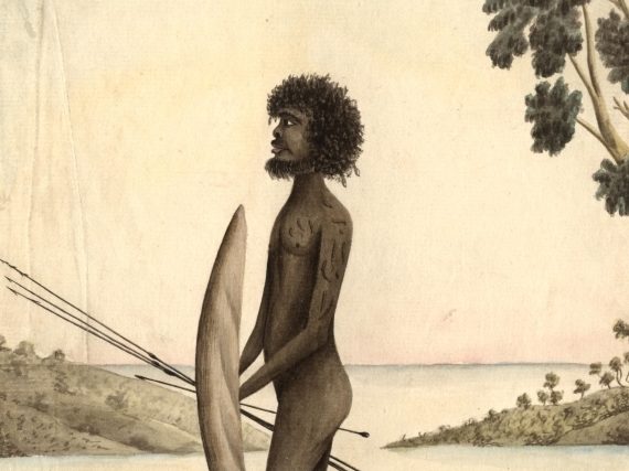
During the first decade of British occupation, several First Fleet artists sketched portraits of notable Aborigines and scenes of their daily activities—spear-fishing, canoeing, collecting cockles, cooking around campfires, sleeping in bark teepees. Some outstanding watercolours were unsigned—and art historian Bernard Smith credited these generically to ‘Port Jackson Painter’. Other historians have suggested that builder Henry Brewer (the colony’s first Provost-Marshall) or convicts Thomas Watling and Francis Fowkes might have painted some of these works.
During the first two years of British settlement, several thousand Sydney Aborigines died from smallpox, other infections, or murders by the new controllers and developers of their homeland. Several paintings show black-skinned bodies piled in heaps near the shore.
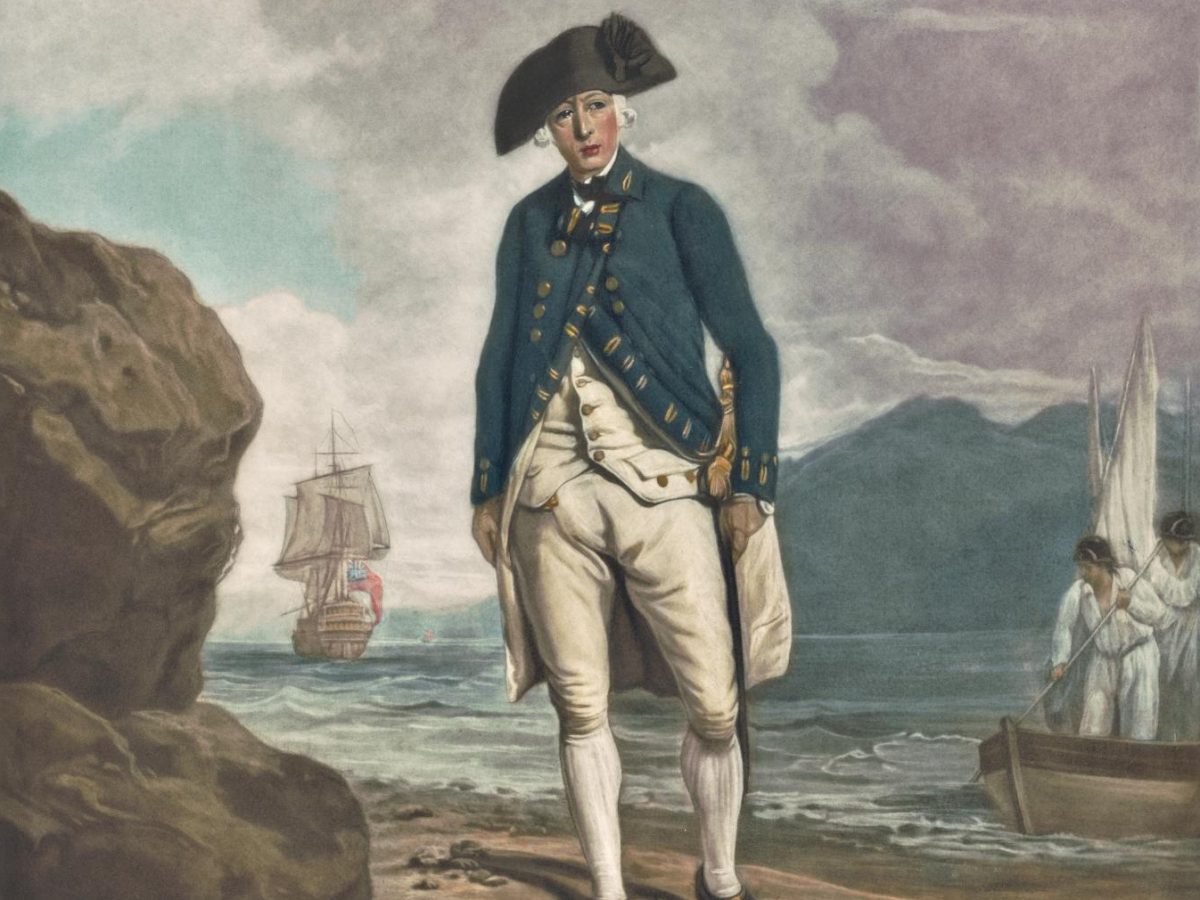
Three senior officers of First Fleet ships became the colony’s first three Governors—Admiral Arthur Phillip (1788-1792), Capt. John Hunter (1795-1800) and Capt. Philip Gidley King (1800-1806).
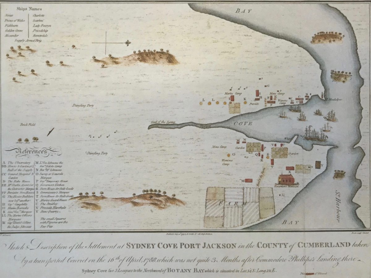
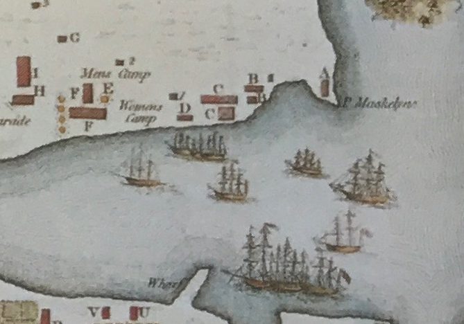
The first maps of Sydney Cove showed its west headland with various shorelines apparently drawn without surveying instruments. The most picturesque map was sketched by Francis Fowkes, oriented west at top, with some notable buildings labelled and communal areas coloured. Another 1788 map was drawn by William Bradley, oriented south at top and elongated in that direction. The most accurate map was drawn by a scientific polymath, Lt. William Dawes, using instruments lent to him by the Board of Longitude in Greenwich, and water depth soundings taken by John Hunter.
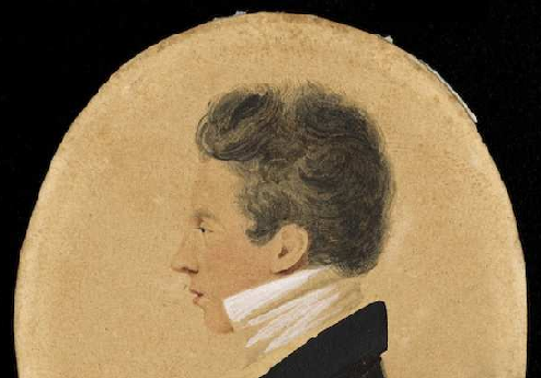
Dawes lived in Sydney for only three years—from 1788 until his return to England in 1791 (after arguing with Governor Phillip about retribution for of an Aboriginal dispute). One of Dawes’ first duties was to lead construction of the colony’s first battery of eight cannons. Landed from HMS Sirius, these were arranged in a semi-circle near the ridge of the headland, facing east towards the harbour entrance. Dawes Battery was upgraded intermittently until its closure in the early 1900s; the remains now form a heritage exhibition under the southern ramp to the Sydney Harbour Bridge
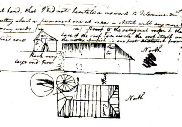
He promptly built a small cottage (with retractable canvas roofing) beside a large sandstone rock north of the inlet that is now known as Campbells Cove (near today’s Park Hyatt Hotel).
Dawes named this rocky site Point Maskelyne to honour his London mentor, the Astronomer Royal, Rev. Dr. Nevil Maskelyne. Around this hillside, now named Dawes Point (Tar ra) Park, Dawes devoted himself to ‘Observation’: drawing maps, recording astronomical and meteorological readings, and collaborating with Patyegarang, a native girl, to write the first dictionary of Aboriginal language.
Apart from Dawes’ map showing the headland now named Walsh Bay, there is no record of him working on the western side of the Dawes Point ridge, although the mapping of Dawes Point gradually moved north-westwards to the current site of Walsh Bay’s Pier One hotel, and a small Dawes Point suburb was gazetted on the west side of the ridge in 1993.


